VIZSWAT
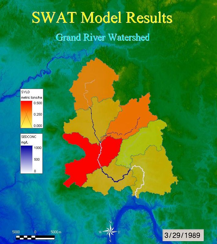
VIZSWAT is a visualization and analysis tool developed by Baird & Associates for SWAT model output. VIZSWAT analyzes results from SWAT 2000, SWAT 2005, and SWAT 2009 versions as well as AVSWAT and ArcSWAT (ArcGIS-SWAT). VIZSWAT is a customized version of Spatial Data Analyzer (SDA), a GIS-based data visualization and analysis tool that animates time series and spatial data over GIS maps with impressive display speed.
VIZSWAT is software design for older Windows systems and new licenses are no longer sold.
For license and authorization code, or for more information about purchasing VIZSWAT, contact:
r-srinivasan@tamu.edu or visit the VizSWAT dicussion group.
In addition to model results, it is capable of loading many commonly used GIS layers and ASCII data in various formats. Spatial and temporal data can be graphically interpreted over GIS layers and graphically explored and edited in four-dimensional space (3D space plus time) with fully functional GIS navigation tools. VIZSWAT allows users to import, analyze and visualize SWAT model results within the SDA framework.
A number of powerful and convenient functions are available for data analysis in VIZSWAT. Analysis functions include time series aggregation, basic statistics, and correlation, frequency, baseflow and flow duration analyses. Time series data can be extracted from model results and plotted separately. Animations of model data can be produced using graphic layers that can be easily controlled through the hierarchic layer controller. VIZSWAT provides a few types of sub-maps, which can be used for multiple map views, time series and X-Y plots. These submaps can be animated simultaneously with the main map. VIZSWAT also provides a number of map objects such as a clock, scale bar, legends, labels, geometric shapes and icons. VIZSWAT also provides the capability for recording movies in various formats and publishing high-resolution maps.